A map promises to make a place easier to understand. Coastlines have edges, paths have direction, and a neat line seems to tell us where one piece of land ends and another begins.
Yet maps and hidden boundaries can turn that promise into a compelling mystery. Who drew the line? What did they choose to show? Perhaps the land itself tells a different story.
For readers of historical mysteries, those questions offer a quiet invitation to investigate. A chart can be beautiful, useful, and still deserve a second look.
Why maps and hidden boundaries draw us in
There is pleasure in tracing a route with your finger. Even before a character leaves the room, the reader can imagine a journey.
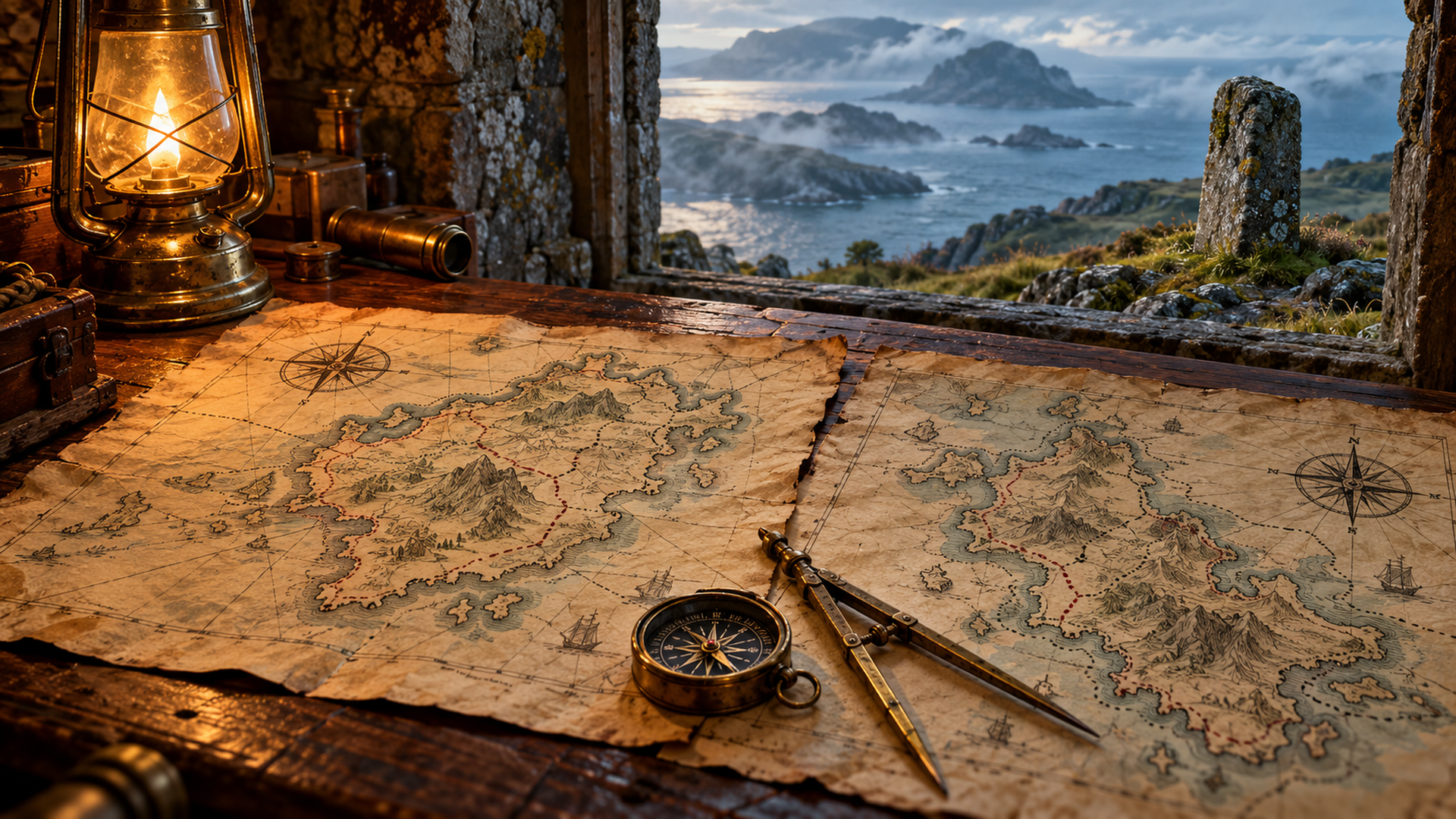
An island map makes that experience especially vivid. A narrow inlet suggests a landing place, while a path across a headland hints at somewhere worth exploring. The page becomes a doorway into the landscape.
However, a map is also a record of choices. Someone decided which features mattered and how to represent them. In a mystery, the reasons behind those decisions can be as interesting as the route itself.
That gives readers two puzzles to enjoy. We want to understand the place, but we also want to understand the person who put it on paper.
A boundary line can carry a human story
A coastline describes the meeting of land and sea. Boundaries ask a different question: where does one claim end and another begin?
On paper, the answer may look simple. Across a real landscape, it can be harder to see.
Fiction can use that difference to create tension. A line might cross a familiar path or divide a place that people think of as a whole. Once characters begin to ask why it runs there, the setting gains another layer.
The interest is not only in the shape of the line. We also wonder what it means to the people around it.
Perhaps one character sees order and certainty. Another may see a reason to question the accepted account of the land. Their different views give the puzzle emotional weight without making the answer obvious.
Look beyond the chart table
Maps become especially satisfying clues when the investigation moves between paper and place. A character studies the chart, walks the ground, and then returns with a new question.
Even a marker on a hill can make an abstract line feel solid. Weathered stone, uneven earth, and the distance between two landmarks give the reader something concrete to picture.
Meanwhile, the journey tests an assumption. Does the route lead where the character expected? Which feature looks clear on the map but feels uncertain in the landscape?
These are broad possibilities a mystery can explore. Their power comes from allowing observation to change an earlier idea.
As readers, we share that movement. The map helps us form a theory, while the ground gives us a reason to examine it again.
An island makes direction matter
Island settings give maps an immediate purpose. The sea shapes the edge of the world the characters can explore, and the routes within it begin to feel important.
A journey across open ground offers a different kind of suspense from a search inside a house. There may be room to move, yet little shelter and few easy ways to leave.
Mist also changes how we imagine distance. A landmark that seems plain in clear light can become a faint shape beyond the path. Consequently, a chart may offer reassurance at the very moment a character needs to question it.
That tension is part of the appeal. Readers want the map to help, but we also want the investigator to notice where confidence has become assumption.
The landscape remains more than scenery. It takes part in the work of discovery.
Small differences reward close attention
A map clue does not have to be dramatic to matter. Sometimes a change in the way a line meets a landmark is enough to make someone pause.
What matters is the connection the story builds around it. An isolated mark may mean little until another detail gives it context. Then the same shape can become worth following.
This creates the pleasure of a mystery that rewards a careful reader. We are invited to notice, compare, and test rather than accept the first explanation.
Importantly, a difference need not prove deceit. The investigator still has to ask what accounts for it and which explanation fits the evidence.
That restraint makes the eventual answer more satisfying. A discovery feels earned when it grows from patient attention to the world on the page.
Follow the lines into Stormglass Island
The Cartographer of Stormglass Island brings Nora Halewell into a mystery shaped by old maps, hidden boundaries, and the island’s past. Its locked chart room and boundary stone make the relationship between a drawn landscape and a lived one especially inviting.
For readers who enjoy maps and hidden boundaries, the appeal lies in that chance to look closer. Each line offers direction, while each landmark may give the journey new meaning.
Discover The Cartographer of Stormglass Island by Mandy Ludick on Amazon, and follow Nora into a historical mystery where the land has a story of its own.
Would you begin with the chart, or walk out to find the boundary stone?